Our Services
Geographic Information System (GIS)
We are a complete professional development company, providing all the services and solutions for any geo-spatial enterprise needs. Our expertise field of activities includes:
-
Total Station & GPS Survey
-
GIS Solution, Services & Training
-
Facility Management / Automated Mapping
-
Remote Sensing
-
Photogrammetry
-
Light Detection And Ranging (LiDAR)
-
Digital Cartography
-
Database Design, Development & Conversion
-
Application Development
-
Urban Planning
-
Geo-Spatial Consulting and Project Management
-
Scanning, Plotting and Printing Services.
Ruled by integrity, a deep-rooted sense of professionalism and a commitment to service excellence, MAP2U is well equipped to meet the varied needs of our clients. We look upon our clients as our partners and strive hard to promote mutual growth and best interests.

APPLICATION DEVELOPMENT
We specialize in providing user-friendly, reliable and efficient solutions. We have rich expertise in GIS application development.
Our GIS Development Services Include:
-
Web based application development
-
Design, development and maintenance of customer geospatial databases
-
Database migration on cross platforms
-
Application migration on cross platforms
-
Vehicle tracking system
-
Mobile spatial information system
-
Development of industry standard spatial information systems
-
GUI (Graphical User Interface) development
-
SDI (Spatial Data Infrastructure)
-
Open source environment
Our software solutions include simplifying complex administrative and management procedures on web based frameworks.
Our ICT Development Services Include:
-
Content management system integration
-
Web portal design and development
-
Web enabling of legacy systems
-
Management Information Systems
-
Custom database design
-
Desktop application programming


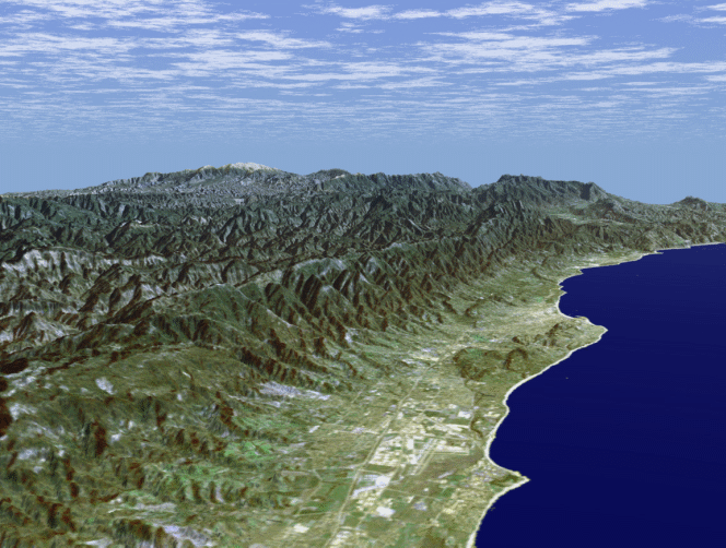
GIS | Mapping, Remote Sensing, Photogrammetry, Survey
We provide high quality and cost-effective services for GIS Remote Sensing, Photogrammetry and Mapping.
MAPPING SERVICES
-
Include large scale data conversion from hard copies and satellite imageries, georeferencing, edge-matching, topology creation, merging and map production.
GIS SERVICES
-
Include map creation, interpretation & analysis, system design & architecture, data management & maintenance, etc.
REMOTE SENSING SERVICES
-
Agriculture crop mapping yield estimation, suitability assessment studies, change detection studies, crop model development, damage and land degradation assessment studies.
-
Forest structural assessment, forest management and sustainable livelihood development, species level classification and bio-diversity mapping, change detection studies, environmental impact assessment studies.
-
Mining & Geology site suitability analysis, mineral mapping to identify potential mineral zones, lithological structural features, geological database creation, map updation for mineral exploration.
-
Environmental impact assessment
PHOTOGRAMMETRY SERVICES
-
Include aerial triangulation, creating mosaics, edge matching, tile generation in user defined dimensions, planimetric feature extraction, contour generation, orthophoto generation, ortho rectification, creation of DEM, DTM and DSM, LIDAR data processing and 3D city modeling
SURVEY SERVICES
Site survey plan interpretation
-
GPS date migration
-
Field sketches and survey coordinates interpretation
-
Map preparation based on GPS data
-
Contour development
-
Telecom survey plan preparation
-
Mining map preparation
-
Digitization

INFORMATION AND COMMUNICATION TECHNOLOGY (ICT)
-
Information and Communication Technology (ICT)
-
Outsourcing of customer’s IT section
-
Planning and consulting of ICT related infrastructure
-
Thin Client Solution
-
Virtualization Solution
-
Implementation support and maintenance services
-
Daily operation and maintenance support
-
Helpdesk
-
Hardware and Software sales
-
Management License expiration
-
Network and Security